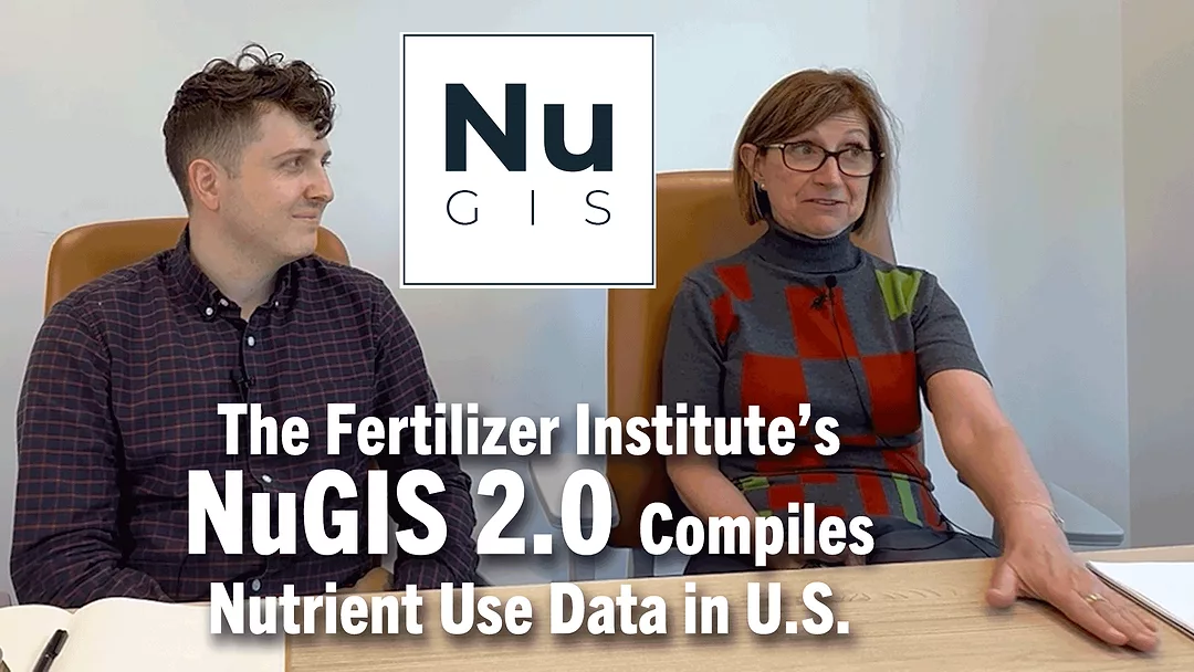
The Fertilizer Institute is launching NuGIS 2.0. It’s the Nutrient Use Geographic Information System, which integrates multiple data sets to create county-level estimates of nutrients applied and removed. Kathy Mathers with the Fertilizer Institute shares how this project is helping farmers across the U.S.
“The Nutrient Use GIS information system originally started or originally built by IPNI, by the International Plant Nutrition Institute. It is now ready for what we're calling NuGIS 2.0. And what NuGIS does is it allows us to tell our advocacy story by looking at data on nutrient use, nutrient uptake, and other related, like for example, other inputs such as manure use on watershed-by-watershed basis. And that is really allowing us to better tell or better counter those who say that we're using too much fertilizer, we're just dumping it on indiscriminately, and again, really attempting to find evidence ways to step up for the growers.”
NuGIS is free to use, but you have to register.
Watch the full version of this episode of Conservation Ag Update.